Commune de départ PRUGNANES
Commune d'arrivée PRUGNANES
Balisage GR © Blanc et rouge, PR © jaune
Dénivelé 635
Altitude319
Itinéraire en boucle oui
Référencement carte IGN TOP25 2347 OT
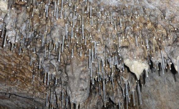
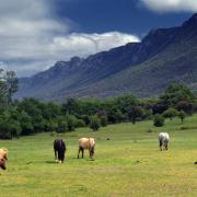
Situé sur le grand synclinal du Fenouillèdes, ce circuit en terrain calcaire passe à proximité d'avens et de grottes. Il évolue dans la forêt aux senteurs méditerranéennes, empruntant les sentiers qui reliaient jadis les forteresses cathares. Carte top 50 : 2347 OT conseillée.
Contact
Téléphone
